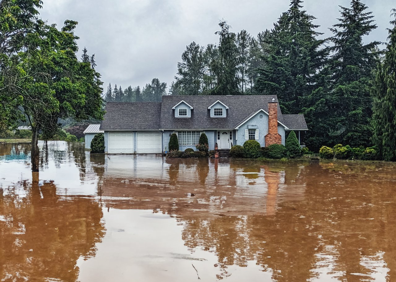
If you own a home along Maine's beautiful coastline, or you're thinking about buying one, you may have heard that FEMA's updated flood maps are changing flood zone designations in many coastal communities throughout York and Cumberland Counties.
For some homeowners, these changes could mean new insurance requirements, different building regulations, and a fresh look at their property's flood risk.
Why Are the Flood Maps Changing?
Many of Maine's previous flood maps were decades old. FEMA has spent years updating them using improved topographic data, storm surge modeling, and current engineering standards to better reflect today's flood risks.
While these maps do not project future sea-level rise, they provide a more accurate picture of current flood hazards than many of the older maps they replace.
As a result, some properties that were previously outside a Special Flood Hazard Area are now included, while others may actually see their flood designation improve.
Click here to see about your property
What Does This Mean for Homeowners?
If your property has been moved into a high-risk flood zone and you have a mortgage backed by a federally regulated lender, you may now be required to carry flood insurance.
Even if insurance isn't required, it's worth understanding your property's risk before deciding whether coverage makes sense.
The changes may also affect:
- Flood insurance premiums
- Building and renovation requirements
- Future additions or substantial improvements
- Property disclosures during a sale
- Long-term planning for your investment
Important to remember:
Being located in a flood zone does not mean your home floods regularly. Flood zones represent the statistical likelihood of flooding during a specific annual chance event and are used to guide insurance and development standards.
What About Property Values?
One of the first questions homeowners ask is whether being placed in a flood zone will hurt their home's value.
The answer isn't always straightforward.
Waterfront and coastal properties throughout Southern Maine continue to be highly desirable. Buyers are becoming more informed about insurance costs and flood risks, but location, condition, elevation, and access to the water remain major drivers of value.
In today's market, properly priced homes in coastal communities continue to attract strong interest.
What has changed is that buyers are asking more questions. They're reviewing flood maps earlier in the buying process, requesting insurance estimates, and wanting a clearer understanding of long-term ownership costs.
Before You Panic...
If you recently learned your property is in a new flood zone, don't assume the map is the final word.
In some situations, a licensed surveyor can determine that your home's elevation is actually above the Base Flood Elevation. If that's the case, homeowners may qualify to request a FEMA Letter of Map Amendment (LOMA), which can remove the mandatory flood insurance requirement for that structure.
Our Advice
Whether you're buying, selling, or simply planning ahead, understanding your property's flood designation is becoming an important part of owning real estate along the Southern Maine coast.
Knowledge is your best asset.
Before making assumptions about insurance costs or property value, talk with your real estate professional, insurance agent, and local code officials. A little research today can help you avoid surprises tomorrow.


